Auto-steer-and-IMU

Tech Talk | Understanding the Application of IMU in Tractor GNSS Auto Steering System

In precision agriculture, the integration of advanced technologies is essential to optimize farming practices, increase productivity, and reduce operational costs. Among the key innovations is the GNSS (Global Navigation Satellite System) Auto-Steering system, which automates tractor movement for greater accuracy and efficiency. A critical component of these systems is the IMU (Inertial Measurement Unit), which enhances the precision and reliability of steering control. This blog will explore the role of IMU in tractor GNSS Auto-Steering systems, explain how it works, and discuss its benefits in the agricultural industry.

What is IMU (Inertial Measurement Unit)?

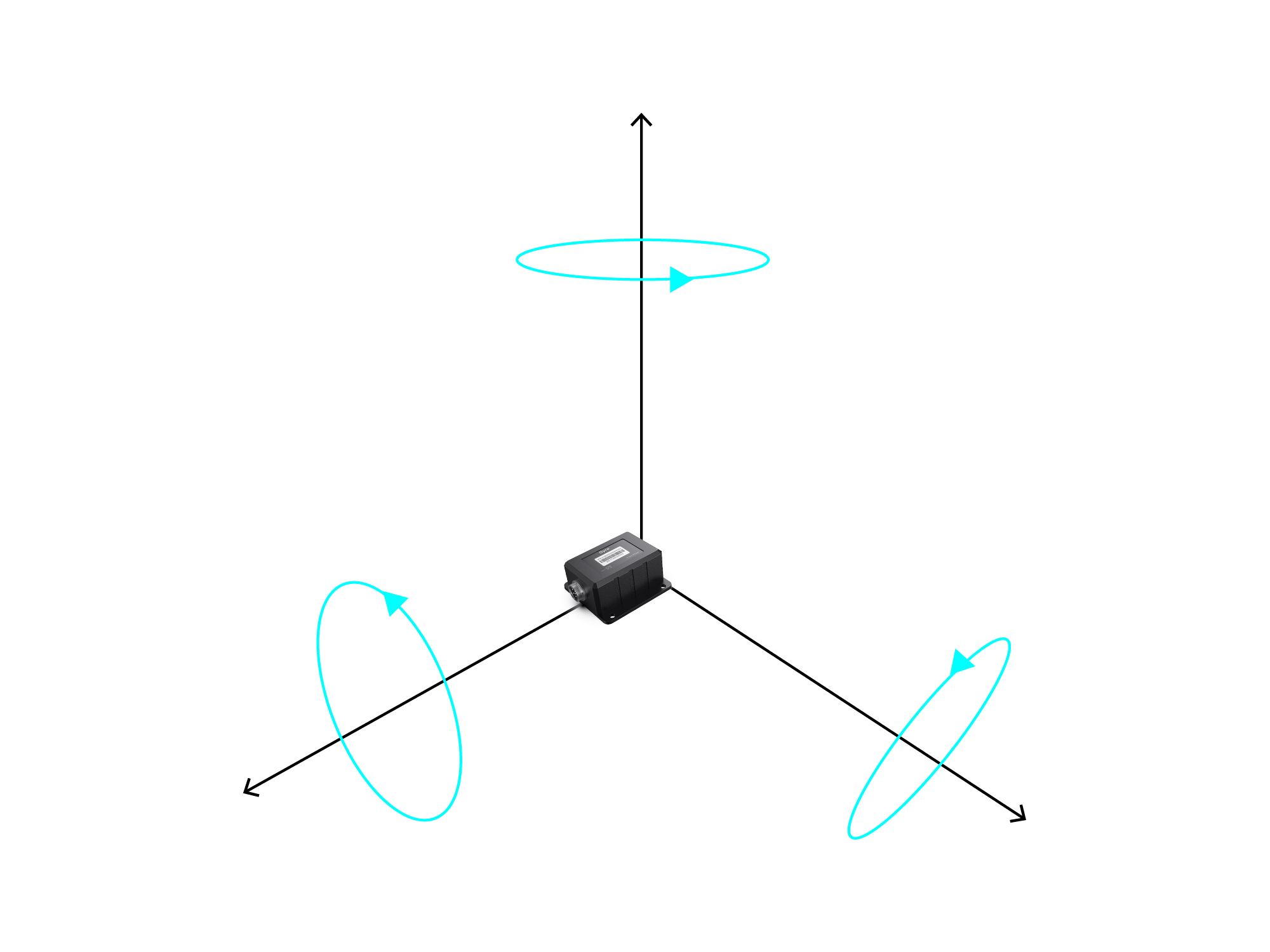
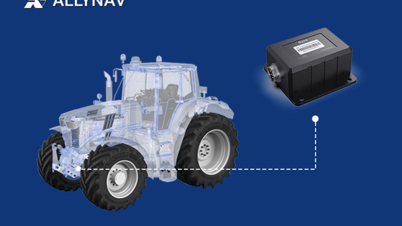
An Inertial Measurement Unit (IMU) is a device used to measure and report a vehicle’s acceleration, angular velocity, and sometimes the magnetic field surrounding the vehicle. It is composed of accelerometers, gyroscopes, and, in some cases, magnetometers. These sensors provide data on the vehicle’s movements, such as pitch, yaw, and roll, which are essential for determining its orientation and position in space. In tractor GNSS Auto-Steering systems, the IMU helps track the tractor’s orientation in three dimensions, especially when GNSS signals are not sufficient to provide complete positional data.

How Does IMU Work in Tractor GNSS Auto Steering System?

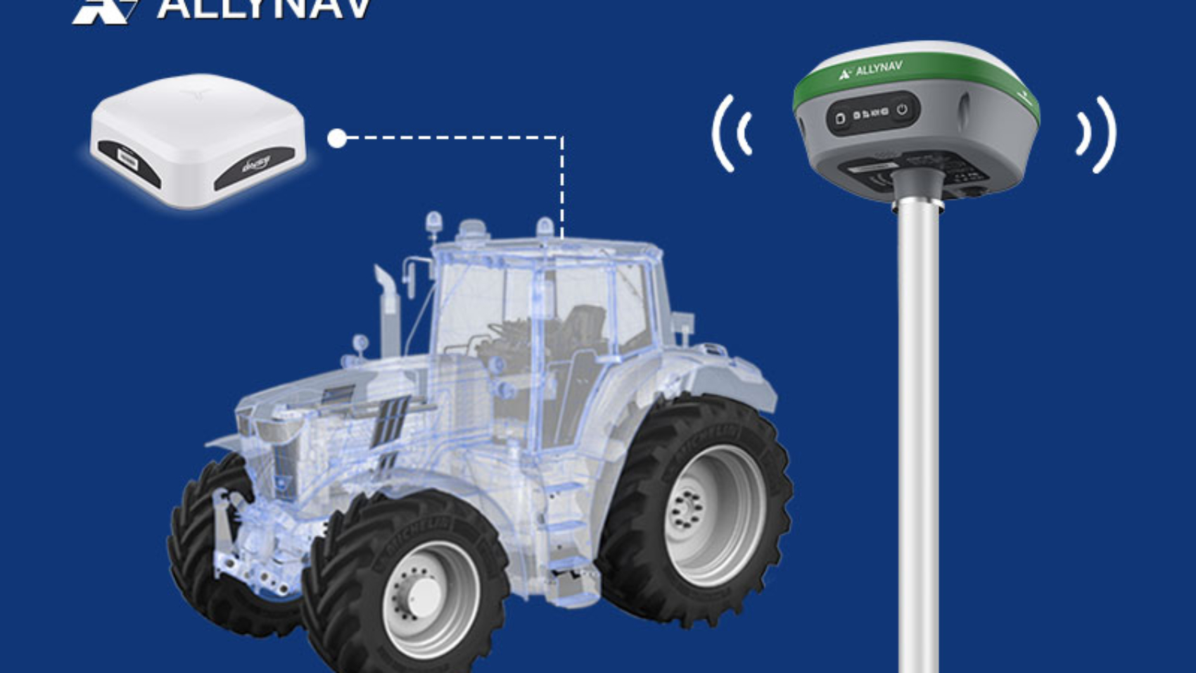
In a tractor GNSS Auto-Steering system, the IMU works alongside GNSS receivers to ensure high levels of precision and stability in vehicle positioning. While the GNSS provides data on the tractor’s geographical location (latitude, longitude, and altitude), the IMU contributes by measuring the tractor’s orientation in terms of roll, pitch, and yaw, compensating for any minor variations in positioning. When GNSS data alone cannot provide a complete and accurate picture—such as in areas with obstructed satellite visibility—the IMU fills in the gaps, maintaining control over the vehicle’s trajectory.

Data Fusion Between GNSS and IMU

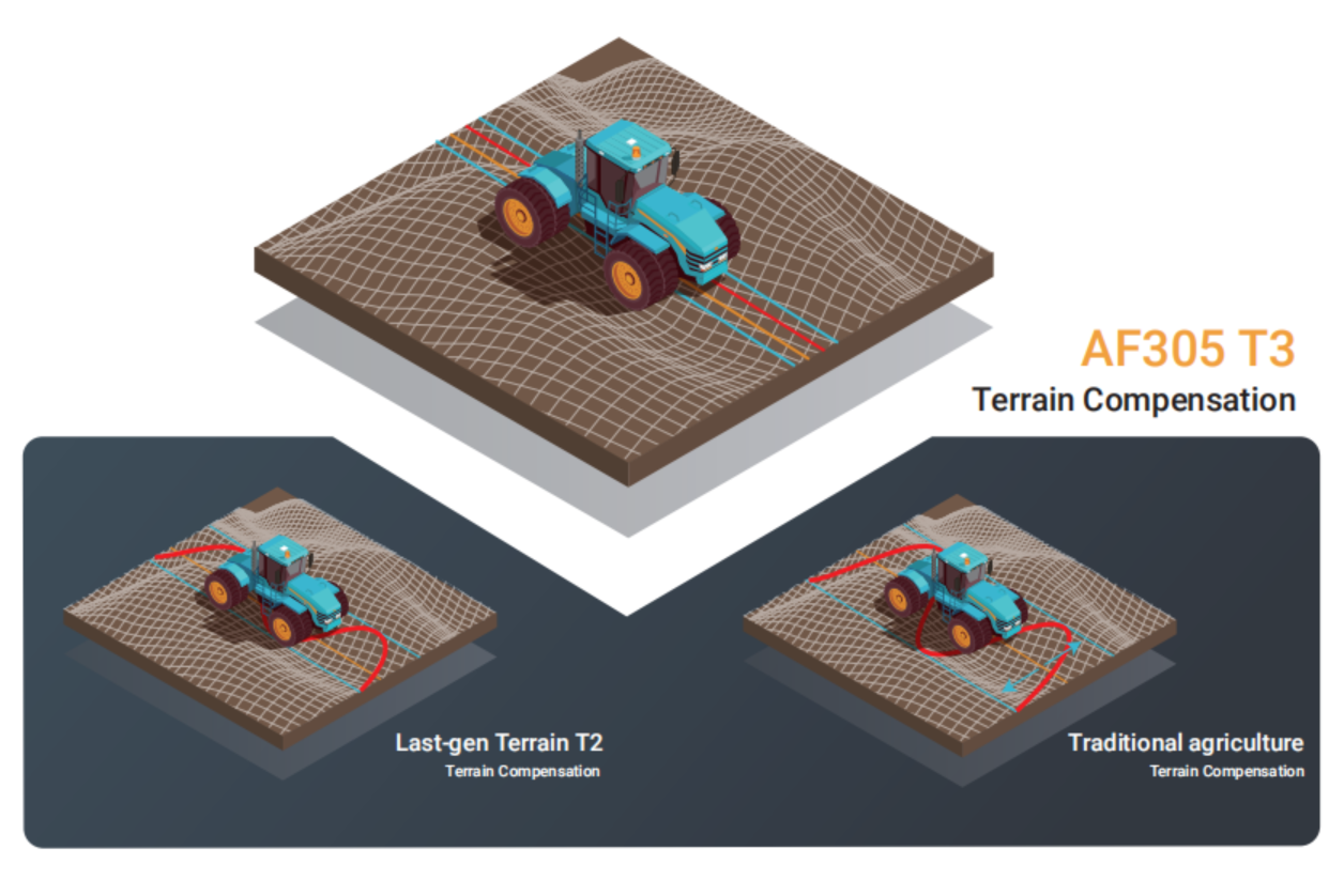
The combination of GNSS and IMU data is essential for the precise operation of tractor Auto-Steering systems. By continuously gathering information about the tractor’s position and orientation, the system can seamlessly adjust the tractor’s steering to keep it on the predetermined path. For instance, if the tractor turns or operates on uneven terrain, the IMU will detect changes in orientation and provide corrective inputs to the steering mechanism. This fusion of GNSS and IMU data ensures that the tractor follows the path with minimal deviation, even in areas with compromised GNSS signals.

1. GNSS Data (Global Navigation Satellite System)

GNSS provides the tractor’s position (latitude, longitude, altitude) and velocity by receiving signals from satellites. It’s accurate and can be corrected with various augmentation systems like RTK (Real-Time Kinematic) or DGPS (Differential GNSS) to achieve centimeter-level accuracy, which is essential for precise path-following in agricultural operations.

However, GNSS signals are susceptible to interference, particularly in challenging environments such as:

  • Dense vegetation or trees, which can obstruct signals.
  • Urban canyons, where tall buildings reflect and block signals.
  • Poor weather conditions, like heavy rain or fog.

2. IMU Data (Inertial Measurement Unit)

An IMU measures a tractor’s orientation (pitch, roll, yaw) and angular velocity using accelerometers and gyroscopes. It detects any changes in the tractor’s movement or orientation, such as:

  • Pitch: The up-and-down motion of the tractor’s front and back.
  • Roll: The side-to-side tilt of the tractor.
  • Yaw: The direction the tractor is facing (left or right turns).

IMUs are independent of external signals, making them highly useful in conditions where GNSS signals are weak or unavailable, like in forests, tunnels, or areas with high electromagnetic interference.

3. Data Fusion

To achieve continuous, high-precision control of the tractor, the GNSS and IMU data are fused using algorithms like Kalman filtering or sensor fusion techniques. Here’s how they work together:

  • GNSS for position tracking: Provides accurate position data over large distances. However, when GNSS signals become weak or lose lock, the system may experience gaps in position information.
  • IMU for orientation and short-term corrections: While GNSS can have occasional signal disruptions, the IMU provides continuous tracking of the tractor’s orientation, allowing the system to detect and compensate for small deviations in heading or terrain variations.

Key Benefits of IMU in Tractor GNSS Auto Steering System

  1. Improved Precision and Reduced Error: By providing orientation data, the IMU helps the tractor follow its planned path more accurately, even in challenging conditions. This reduces errors such as overlap or missed areas between rows, improving field efficiency.
  2. Enhanced Performance in Low GNSS Signal Areas: In environments where GNSS signals are weak—such as near large structures, under dense crop canopies, or in hilly terrain—the IMU can maintain stable tractor control. It continuously monitors orientation, ensuring the vehicle stays on course despite poor satellite visibility.
  3. Increased Operational Efficiency: With the added precision provided by the IMU, tractor Auto-Steering systems can operate faster, optimizing fuel use and reducing wear and tear on the equipment. This leads to higher productivity in the field.
  4. Effective in Complex Field Layouts: The IMU allows the tractor to navigate complex and irregular field layouts with ease, minimizing the risk of overlap or missing areas. This capability is particularly important in fields with curved rows, irregular boundaries, or obstacles.

Conclusion

IMU technology plays a crucial role in enhancing the performance and accuracy of GNSS Auto-Steering systems in agricultural machinery. By providing real-time data on vehicle orientation, the IMU complements the GNSS receiver and ensures precise, efficient operation of tractors, even in challenging conditions. The fusion of these technologies optimizes fieldwork, reducing errors and improving productivity, which is essential for modern farming practices.

Reference:

Precision Agriculture: An Overview of Applications and Technologies, University of California Division of Agriculture and Natural Resources (2023).

Applications of IMU Technology in Autonomous Agricultural Vehicles,” Journal of Field Robotics, 2022.

Integrated GNSS and IMU Navigation for Autonomous Agricultural Machinery,” International Journal of Agricultural and Biological Engineering, 2023.

Fusion of GNSS and IMU for High-Precision Navigation in Agricultural Applications,” Computers and Electronics in Agriculture, 2022.

The Role of IMUs in Enhancing GNSS Accuracy for Agricultural Auto-Steering Systems,” Agricultural Engineering Journal, 2023.

Recent Advances in IMU Applications in Precision Agriculture,” Journal of Agricultural Engineering, 2023.
AF305-and-RTK

Tech Talk | Understanding GNSS and RTK: Unlocking Centimeter-Level Precision

In the evolving landscape of agriculture, precision farming has emerged as a pivotal approach to enhance productivity and sustainability. Central to this advancement are Global Navigation Satellite Systems (GNSS) and Real-Time Kinematic (RTK) positioning, which provide the accuracy necessary for modern agricultural practices.

Understanding GNSS and RTK in Agriculture

GNSS encompasses satellite systems like GPS, GLONASS, Galileo, and BeiDou, offering global positioning data. RTK is a technique that refines GNSS data to achieve centimeter-level accuracy by correcting signal errors in real-time. This precision is crucial for applications such as automated machinery guidance, variable rate application of inputs, and field mapping.

What is GNSS?

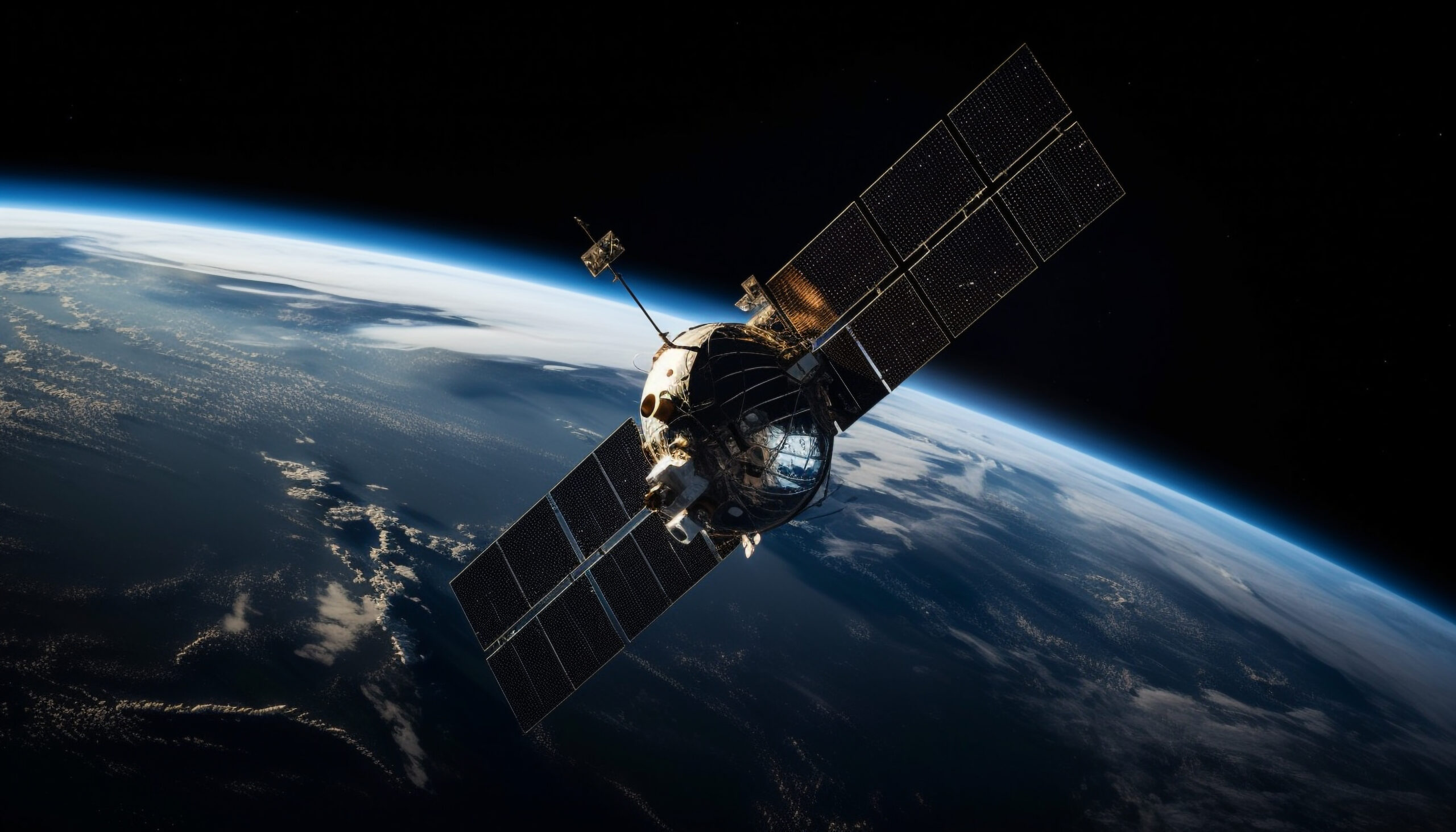
GNSS (Global Navigation Satellite System) is a space-based technology that delivers Positioning, Navigation, and Timing (PNT) information by broadcasting signals from satellites to receivers on Earth. GNSS encompasses all satellite navigation systems, including global systems like GPS (United States), GLONASS (Russia), Galileo (European Union), and BeiDou (China), as well as regional systems like NavIC (India) and QZSS (Japan).

The key functionality of GNSS lies in its ability to calculate precise positioning by measuring the time it takes for signals to travel from satellites to Earth-based receivers. These receivers decode the signals into usable data, such as latitude, longitude, and altitude. The applications of GNSS extend from personal navigation systems to high-precision operations in industrial sectors.

Differences Between GNSS and GPS

While GPS is often used interchangeably with GNSS, it is only one type of GNSS. Each GNSS system varies in ownership, signal structure, and precision.

By integrating signals from multiple GNSS constellations, users can achieve higher accuracy and resilience to signal disruptions.

How GNSS Works?

Global Navigation Satellite Systems (GNSS) are integral to modern navigation, enabling precise positioning and timing across various applications. Understanding their operation is essential for leveraging their capabilities effectively.

Satellite Constellation

GNSS comprises multiple satellites orbiting Earth in specific trajectories, ensuring global coverage. Typically, a constellation requires 18 to 30 satellites to provide continuous signals to receivers worldwide.

Signal Transmission

Each satellite transmits signals containing two critical pieces of information:

  1. Time Stamp: The exact time the signal is sent, based on the satellite’s onboard atomic clock.
  2. Orbital Data: The satellite’s precise position in space at the time of transmission.

These signals are broadcast on specific frequencies, such as the L1 and L2 bands, facilitating communication with GNSS receivers.

Signal Reception

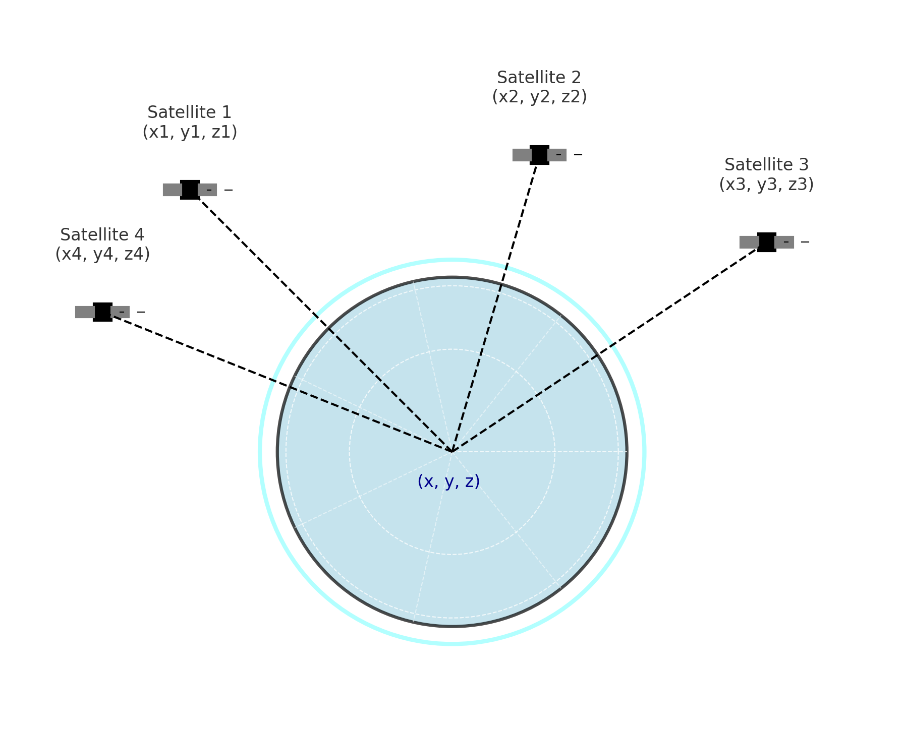
GNSS receivers, equipped with antennas and processing units, capture signals from multiple satellites. By noting the time delay between signal transmission and reception, the receiver calculates the distance to each satellite.

Trilateration

To determine its exact position, a GNSS receiver employs trilateration:

  • Distance Measurement: Calculates the distance to at least four satellites.
  • Position Calculation: Uses the known positions of these satellites to compute its own location in three-dimensional space (latitude, longitude, and altitude).

This process accounts for any discrepancies in the receiver’s internal clock, ensuring accurate positioning.

Data Processing

The receiver processes the collected data to provide precise positional information and accurate time, which are crucial for various applications, including navigation, mapping, and timing services.

Understanding these components and their interactions is vital for effectively utilizing GNSS technology across diverse fields.


What is RTK?

Real-Time Kinematic (RTK) positioning enhances Global Navigation Satellite System (GNSS) accuracy by correcting errors from atmospheric delays and satellite clock inaccuracies. While standard GNSS provides positional accuracy within 2–4 meters, RTK achieves centimeter-level precision by processing correction data from a fixed base station or network.

How RTK Works?

RTK operates through the following process:

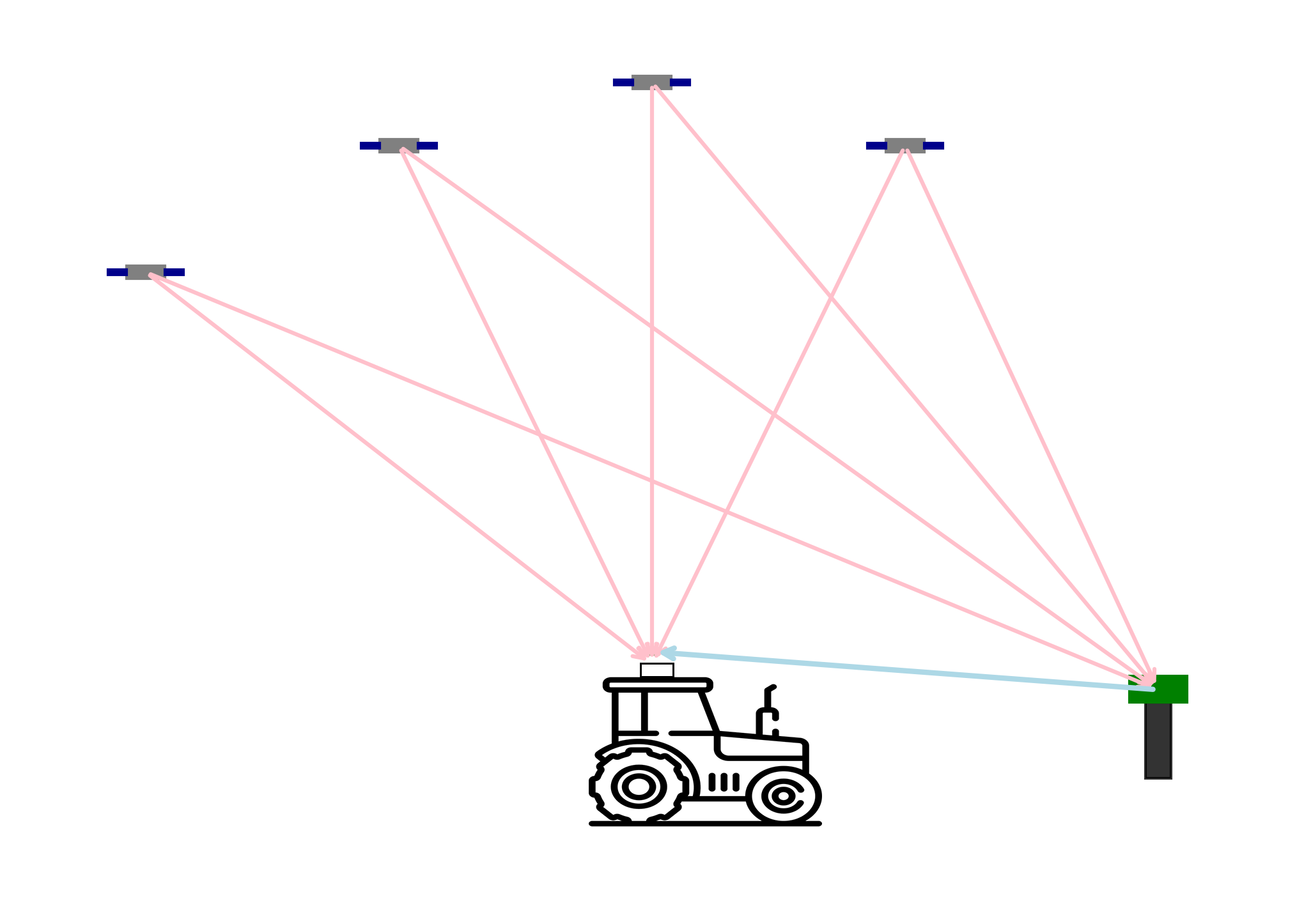
  1. Base Station Transmission: A stationary base station with known coordinates continuously monitors GNSS signals and calculates correction data. This data accounts for errors such as atmospheric disturbances and satellite clock biases.
  2. Correction Signal Delivery: The base station transmits these corrections to the rover (mobile GNSS receiver) via radio signals or internet-based services like NTRIP (Networked Transport of RTCM via Internet Protocol).
  3. Rover Adjustment: The rover receives the correction data and applies it to its own GNSS measurements, refining its positional accuracy to the centimeter level.

RTK Correction Methods

RTK corrections can be delivered through various methods:

  • Radio RTK (Fixed Base Stations): These are local stations set up at known locations that broadcast correction data over radio frequencies. They are highly effective within a limited range, typically up to 10–15 kilometers, making them suitable for localized applications.
  • Network RTK (NTRIP Services): NTRIP utilizes a network of base stations to provide correction data over the internet. This method eliminates the range limitations of single base stations and is ideal for broader coverage areas. However, it requires a stable internet connection to function effectively.

By implementing RTK technology, industries such as precision agriculture, surveying, and autonomous vehicle navigation can achieve the high-level positional accuracy necessary for their operations.

What is the relationship between CORS and NTRIP?

CORS is the data source, while NTRIP is the delivery mechanism.

CORS provides the correction data that NTRIP transmits. Without a CORS network, there would be no high-precision corrections for NTRIP to distribute. Similarly, without NTRIP (or an equivalent delivery method), accessing CORS data in real-time would be more challenging.

Applications of GNSS and RTK in Precision Agriculture

  • Automated Machinery Guidance: RTK-enabled GNSS systems allow tractors and harvesters to follow precise paths, reducing overlaps and missed areas during operations like planting and harvesting. This leads to efficient use of resources and time.
  • Variable Rate Application: By integrating GNSS data with field variability information, farmers can apply fertilizers, pesticides, and seeds at variable rates tailored to specific field zones, optimizing input use and minimizing environmental impact.
  • Field Mapping and Soil Sampling: GNSS facilitates accurate mapping of field boundaries and soil sampling locations, enabling detailed analysis of soil properties and informed decision-making for crop management.

Benefits of Implementing GNSS and RTK

  • Enhanced Efficiency: Precise navigation reduces input costs and labor by minimizing overlaps and ensuring consistent field coverage.
  • Environmental Sustainability: Targeted application of inputs based on accurate field data reduces chemical usage, lowering the risk of runoff and environmental contamination.
  • Improved Crop Yields: Optimized planting patterns and input applications contribute to uniform crop growth and higher yields.

Conclusion

The integration of GNSS and RTK technologies in precision agriculture is transforming farming practices by enhancing accuracy, efficiency, and sustainability. As these technologies continue to evolve, they offer promising solutions to meet the growing global food demand while preserving environmental health.


References:

GPS.gov: Other Global Navigation Satellite Systems (GNSS)

20241024

Tech Chat | Why Is an Automated Steering System Essential for Modern Agriculture?

In the fast-paced world of modern agriculture, efficiency, precision, and sustainability are more important than ever. Farmers are continuously adopting new technologies to streamline operations and increase productivity. Among these innovations, the automated steering system has emerged as a key tool that helps farmers achieve their goals. In this blog, we’ll explore why automated steering systems are essential for modern farming practices, focusing on their benefits in precision, cost savings, sustainability, and overall productivity. 


1. Precision Farming: Optimizing Every Inch of Your Land

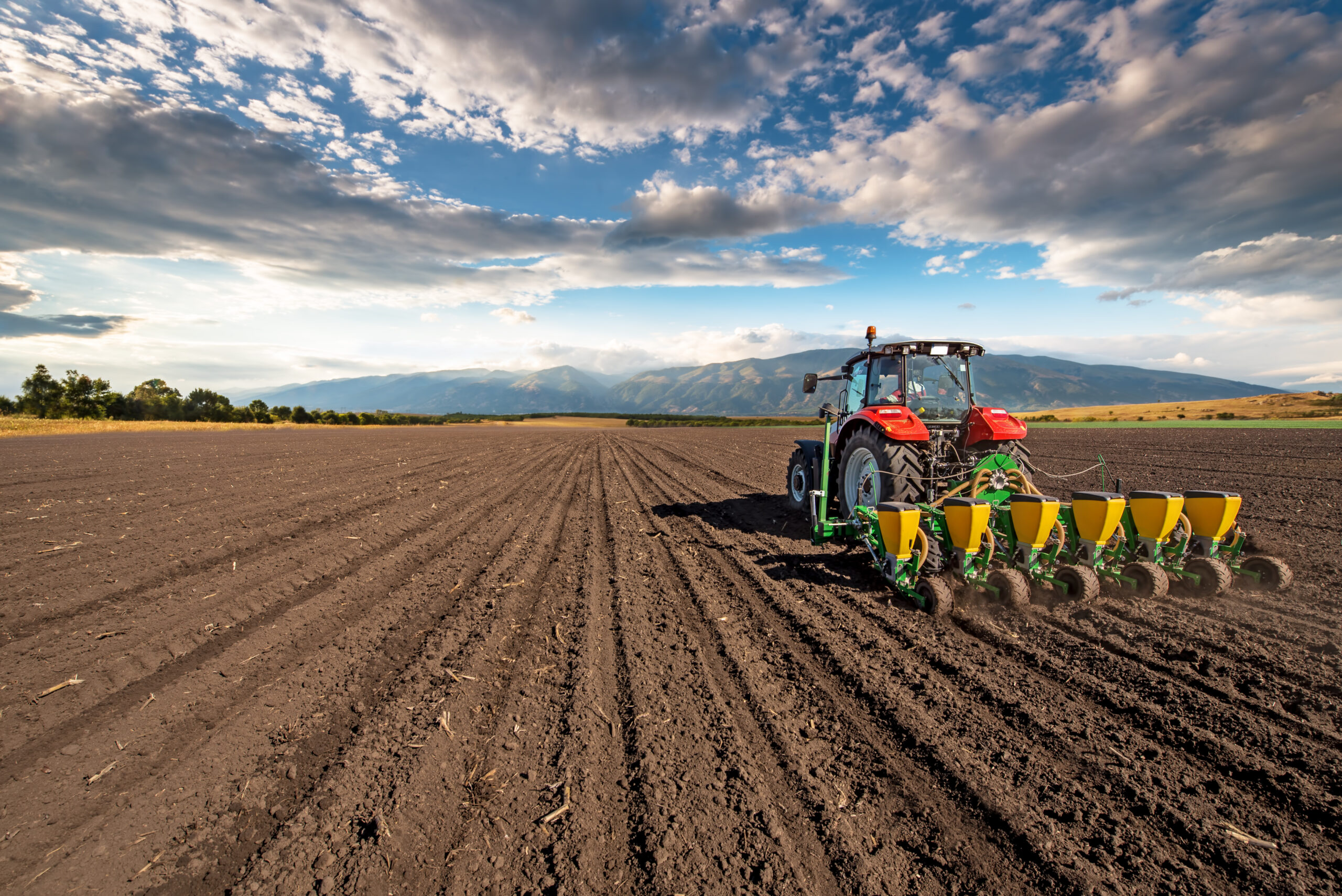
One of the most significant advantages of the automated steering system is the ability to farm with centimeter-level accuracy. Precision is critical to ensuring that each task is completed efficiently, without overlap or missed areas, whether planting, spraying, or harvesting. By using GNSS (Global Navigation Satellite System) technology and RTK correction signals, machinery is guided along predefined paths, maximizing land use and optimizing yields.

Key Benefits:

  • Reduced Overlap: Ensures that inputs like seeds, fertilizers, and pesticides are applied exactly where needed, minimizing waste.
  • Consistent Row Spacing: Guarantees accurate row spacing, improving crop uniformity and growth and overall yield and resource efficiency.


2. Increasing Productivity and Reducing Labor Dependency

Farming is a labor-intensive process, and automated steering systems significantly reduce the workload by allowing machinery to operate with minimal manual input. Operators no longer need to focus on constantly steering, which reduces fatigue and increases productivity. The automated steering system also ensures that tasks are completed more quickly, as it follows the most efficient paths.

Key Benefits:

  • Reduced Operator Fatigue:Less manual steering allows operators to focus on monitoring equipment performance and other critical tasks.
  • Faster Task Completion:The automated steering system ensures that fieldwork is completed faster, improving overall operational efficiency.
  • Less Human Error:The automated steering system eliminates common steering errors, ensuring efficient use of land and resources.

3. Lower Input Costs: Minimizing Waste

The Automated steering system helps farmers save money by minimizing input waste— whether it’s seed, fertilizer, and chemicals wasted during field operations. The system ensures that every inch of the field is utilized efficiently, preventing overlap or missed sections. This not only saves money but also ensures a more even distribution of inputs, leading to healthier crops.

Key Benefits:

  • Reduced Input Waste: Accurate navigation helps avoid overlap, ensuring that only the necessary amounts of seeds, fertilizers, and chemicals are used.
  • Resource Optimization: Precision in applying inputs like seeds and chemicals results in cost-effective and environmentally friendly farming.
  • Cost Savings: Lower input use leads to significant cost savings, making operations more efficient and profitable.


4. Sustainability: Reducing Environmental Impact

In addition to saving money, the automated steering system contributes to more sustainable farming practices. By reducing input waste, farmers can lower their environmental impact. Fewer chemicals and fertilizers used means less runoff into nearby water sources, which helps protect ecosystems. Additionally, optimized paths reduce fuel consumption, further lowering the farm’s carbon footprint.

Key Benefits:

  • Lower Chemical Use: Precision application means less chemical runoff, reducing the risk of environmental contamination.
  • Fuel Savings: Optimized machinery paths reduce overall fuel usage, lowering emissions and operational costs.


5. Data Collection and Integration with Precision Agriculture Technologies

The automated steering system often integrates with other precision agriculture tools such as yield monitors, sensors, and farm management software. The system collects valuable real-time data, allowing farmers to make informed decisions about planting, fertilizing, and harvesting. This data-driven approach improves operational efficiency and maximizes crop yields.

Key Benefits:

  • Informed Decision-Making: Real-time data helps farmers optimize field operations and improve yields.
  • Integration with Other Technologies: The automated steering system can connect with sensors and software for comprehensive farm management.


6. Fast Return on Investment (ROI)

Investing in an automated steering system can lead to a quick return on investment (ROI) due to the numerous cost-saving and productivity-boosting benefits. By reducing input waste, improving fuel efficiency, and increasing yields, farmers often see financial returns within a few growing seasons.

Key Benefits:

  • Immediate Savings: Lower input costs and fuel savings help offset the initial investment quickly.
  • Increased Profitability: Enhanced productivity and better crop yields contribute to long-term profitability.

Conclusion: The Future of Farming Lies in Automation

The automated steering system is not just a luxury—they are essential tools for modern farmers looking to improve efficiency, cut costs, and embrace sustainable practices. By investing in this technology, you’ll not only increase the productivity of your operations but also ensure that your farm remains competitive in an evolving agricultural landscape.

Ready to take your farm to the next level with automated steering? Contact us today to learn how this technology can transform your farming operations and boost your profitability!

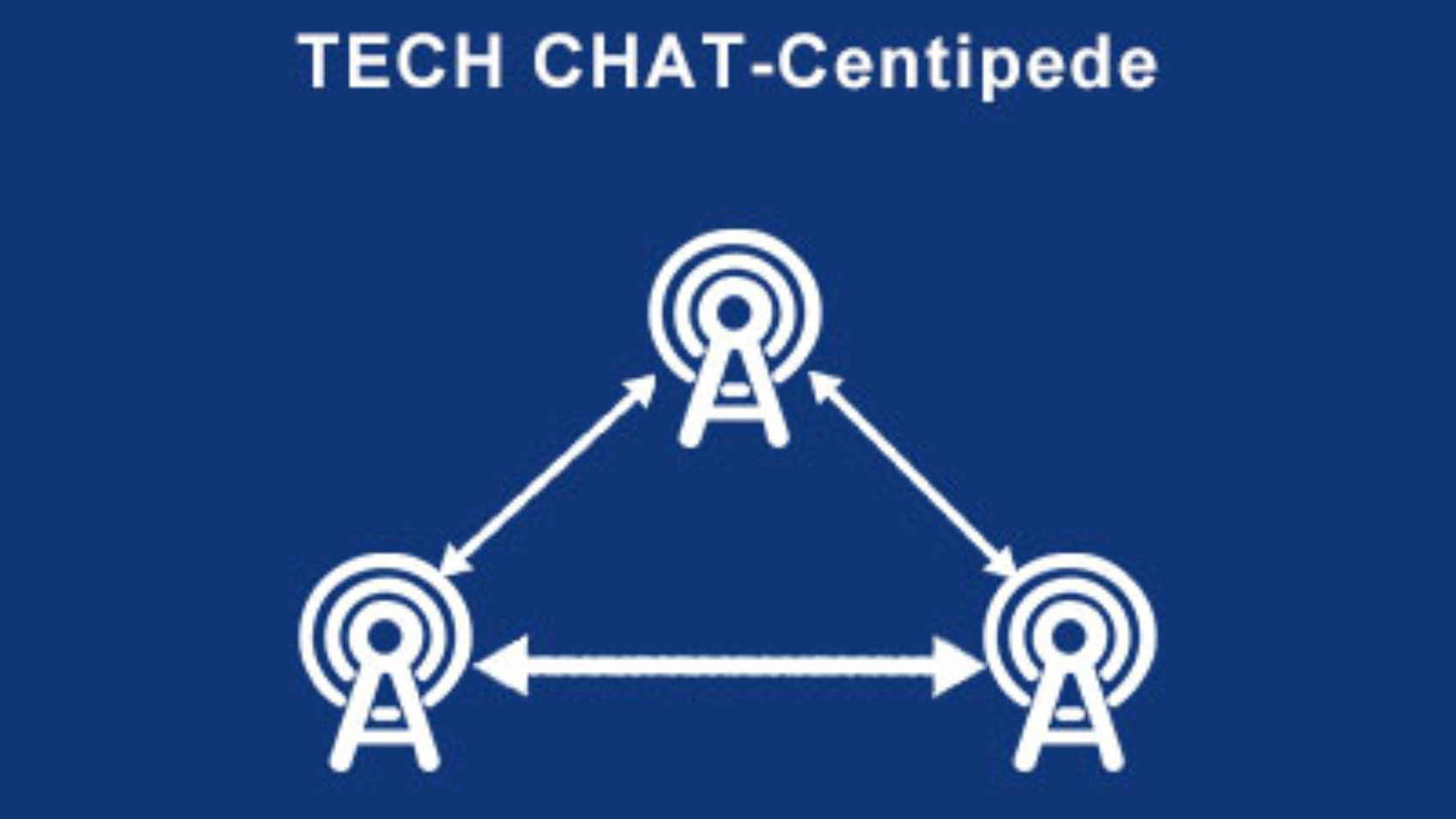
TECH CHAT-Centipede

TECH CHAT-Centipede

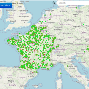
  • Introduction to the universal network base station in France: Centipede

    • “Centipede” is a network base station solution provided by the French company “Center of Excellence in Advanced Wireless” (CEAW). The name “Centipede” reflects its design concept and function. Centipede base stations are designed to meet high-density and high-demand network environments, such as city centers, large commercial areas and event venues.


  • Key features include:

    • High-density coverage : Centipede base stations can provide stable and efficient network services in areas with high user density and support a large number of simultaneously connected devices.
    • Flexible deployment : The design allows for rapid deployment and reconfiguration to adapt to different environmental requirements and changes.
    • Advanced Technology : Integrates the latest wireless communication technologies, such as 5G and future 6G technologies, to provide higher speeds and lower latency.
    • Energy-saving design : Focus on energy efficiency, strive to reduce energy consumption while providing high performance, and meet environmental protection requirements.
    • Intelligent Management : Equipped with an intelligent network management system that can automatically monitor and optimize network performance and improve user experience.
    • Durability : With high durability and anti-interference ability, it can operate stably under various environmental conditions.
  • The goal of Centipede base stations is to increase network capacity and reliability to support modern society’s demand for high-speed networks while adapting to changing technology and market demands.