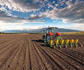
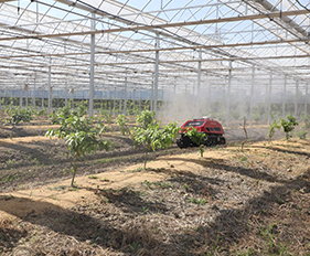
Land preparation is the next crucial step in achieving optimal plant growth and maximizing yields. At AllyNav, our advanced land preparation solutions focus on creating the ideal soil structure and surface conditions for planting. With our state-of-the-art equipment and smart platform, farmers can precisely prepare their fields to improve soil aeration, moisture retention and seedbed quality.
Our land leveling systems ensure an even distribution of water and nutrients across the field, reducing waterlogging and preventing soil erosion. By using GPS-controlled land leveling equipment and laser leveling technology, the soil surface is optimized for even irrigation, reducing the need for excessive water consumption and promoting efficient plant growth. This precise leveling also minimizes the risk of soil compaction, which can hinder root development and reduce crop yields.
In addition to land leveling, our platform offers tillage management options tailored to different soil types and crop requirements. AllyNav's tillage equipment is designed to break up compacted soil layers, incorporate crop residues and create a well-aerated seedbed.
In addition, AllyNav land preparation solutions integrate with our soil management strategies, allowing farmers to make data-driven decisions based on real-time field conditions.
Customized Solutions Tailored to Your Needs
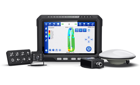
Input Control
The AllyNav Input Control Solution for land preparation, equipped with Precision Ag software, ensures precise application of inputs during land preparation, planting and nutrient management to increase efficiency and reduce waste.
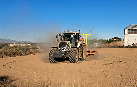
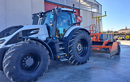
Leveling Machine Control
The W20 land leveling system uses GNSS technology to precisely control leveling equipment, ensuring efficient and accurate leveling of fields. By integrating real-time data, it optimizes the land surface for better water distribution and tillage, improving overall crop performance.
AllyNav's PPP-RTK combines precise point positioning with real-time kinematic technology, providing centimetre-accurate positioning even in challenging environments. It offers fast convergence and high precision without the need for a dense network of base stations.
GNSS network service
VRS
The VRS (Virtual Reference Station) system uses networked GNSS data to create a virtual base station near the user's location, increasing accuracy and reliability. It enables precise positioning over larger areas, reducing the need for physical base stations and improving operational efficiency.